
Visual autonomy for GNSS-denied airspace
Badb Loop
Give it the objective, not the coordinates.
Aircraft that find their own position without GPS, perceive what matters, and move for a better view — trained in synthetic worlds we build ourselves. A person always sets the objective and closes the loop.
- Positioning without GPS — demonstrated
- Perception in hard conditions
- Trained in synthetic worlds
- Built for the edge
How it's built
One loop, from world to model.
The navigation you just saw was built by this loop — the same worlds we generate to train models. The loop is what you can build on.
01
Synthetic environments
Build worlds you can't safely or affordably film. Compose and re-compose seasons, weather, time of day, and sensor models at will — and reproduce any scene exactly, as many times as you need.
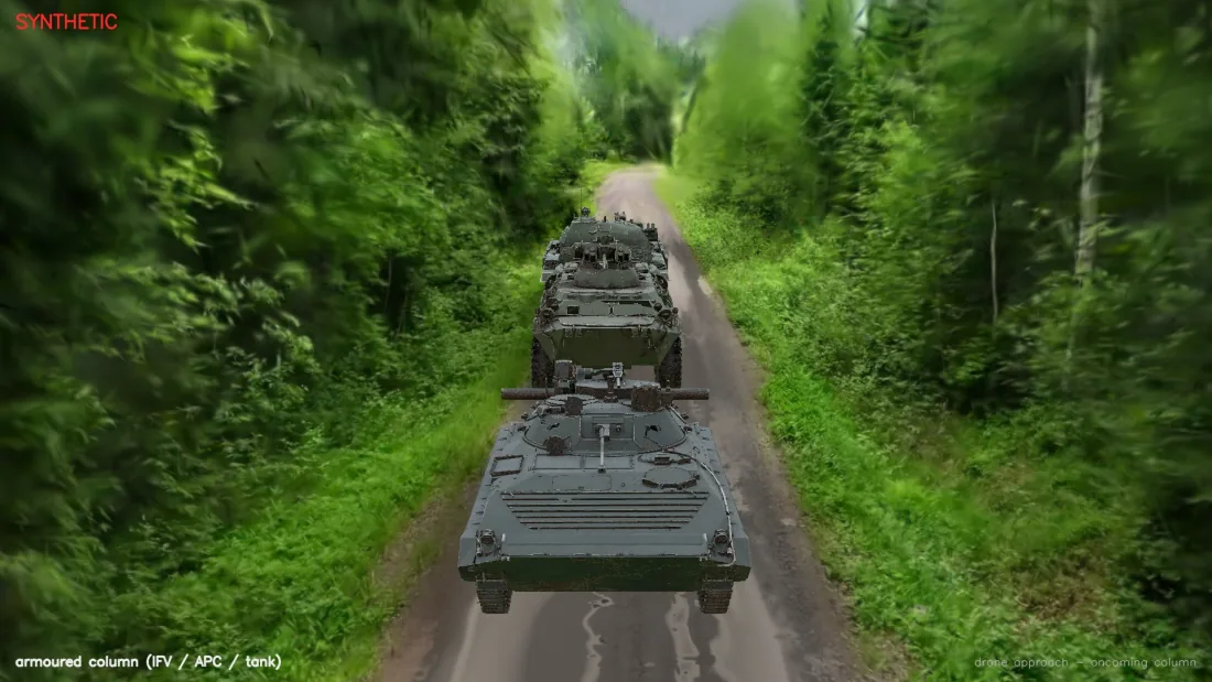
Synthetic — rendered scene, real surveyed terrain.
02
Ground-truth datasets
Training-ready datasets with precise labels, balanced for the cases that matter. Segmentation, detection, and depth — exported to the formats your pipeline already speaks.
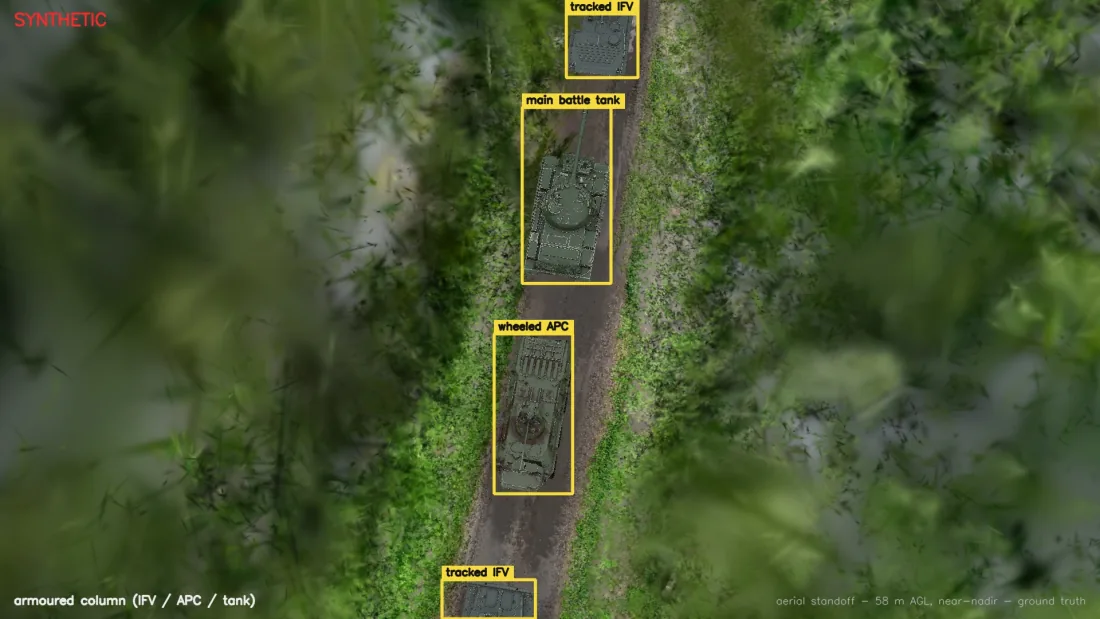
Synthetic — ground truth from the renderer, at 58 m.
03
Perception AI
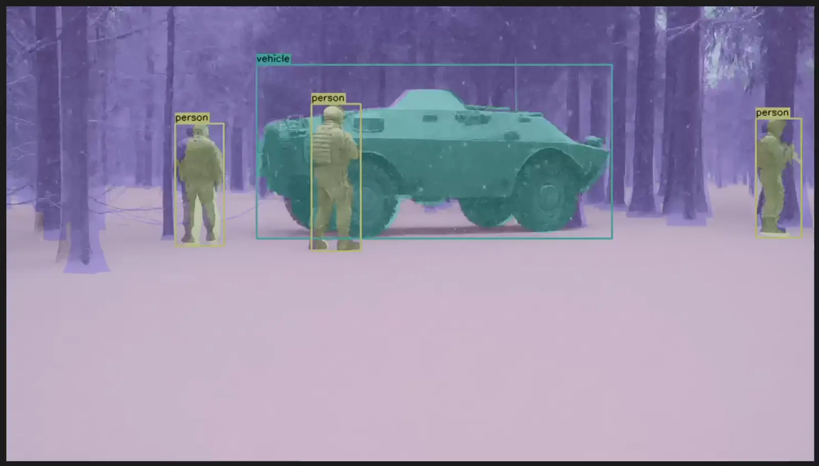
Detection and segmentation models tuned for cluttered, low-contrast, real-world scenes — plus the tooling to keep them sharp as conditions drift in the field.
04
Navigation
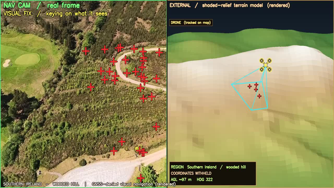
Find the aircraft on the map with no GPS, from what the camera sees — against maps built from earlier flights. Demonstrated on real flights.
Available today
Every pixel, labelled. Automatically.
Because the world is synthetic, the labels come from the renderer itself — every vehicle boxed, none missed, no annotation queue. Below: CG armour rendered into a 3D reconstruction of a real forestry road in Finland, from 26 m. Drag the handle to compare the rendered frame with its ground truth.
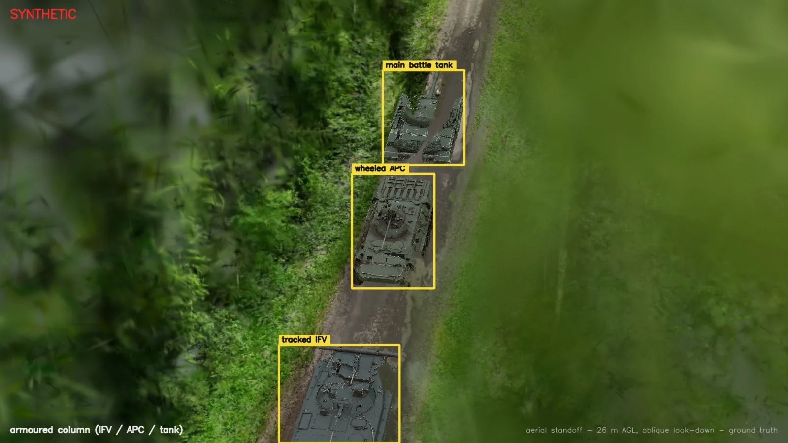
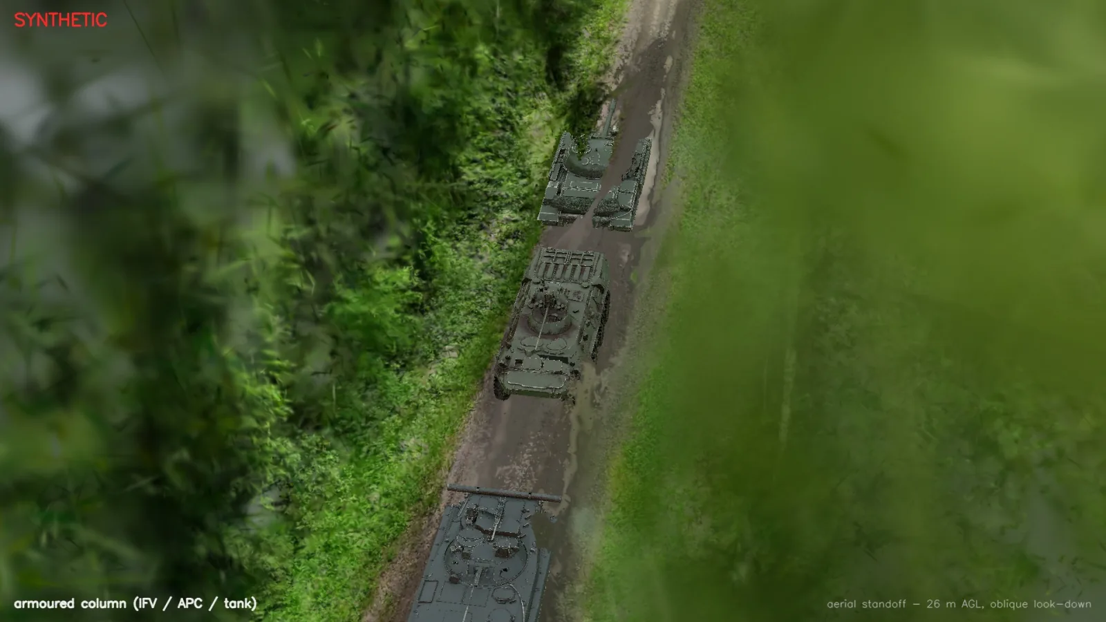
Synthetic — CG armour rendered into a 3D reconstruction of a real forestry road we surveyed in Finland, lit from a 360° camera frame captured on the same flight. Boxes are the renderer's own ground truth, not a model's output. Labels name the platform type only.
Hard conditions
Trained for the conditions that break models.
Generate the rare, the dangerous, and the degraded as easily as the everyday — then balance your dataset across the whole long tail.
-
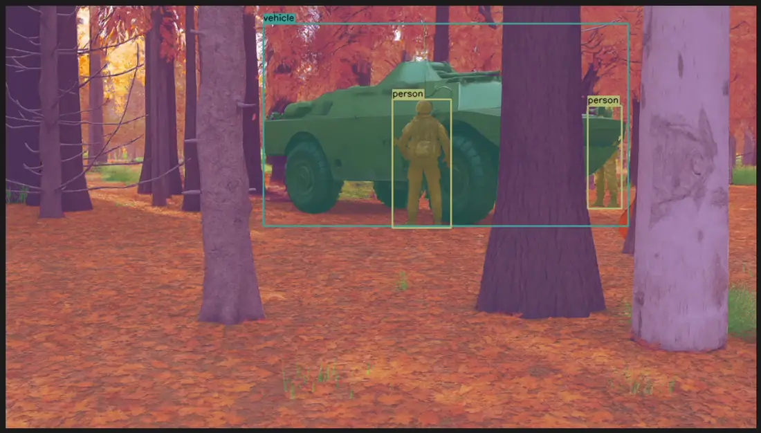 Seasonal woodland
-
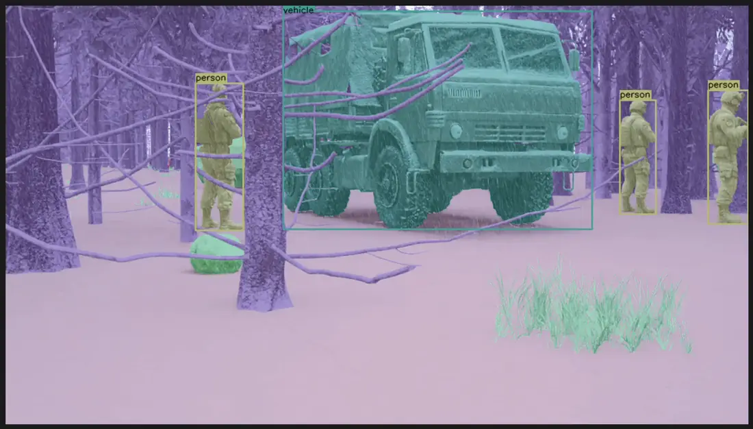 Snow & low contrast
-
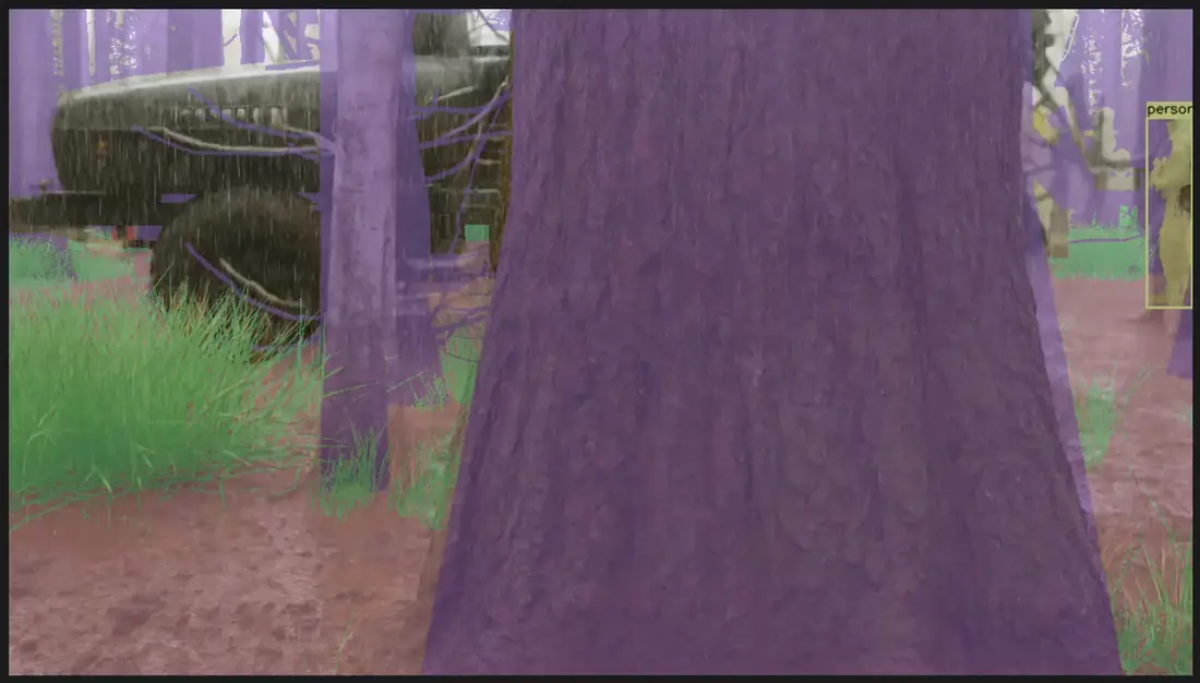 Dense occlusion
-
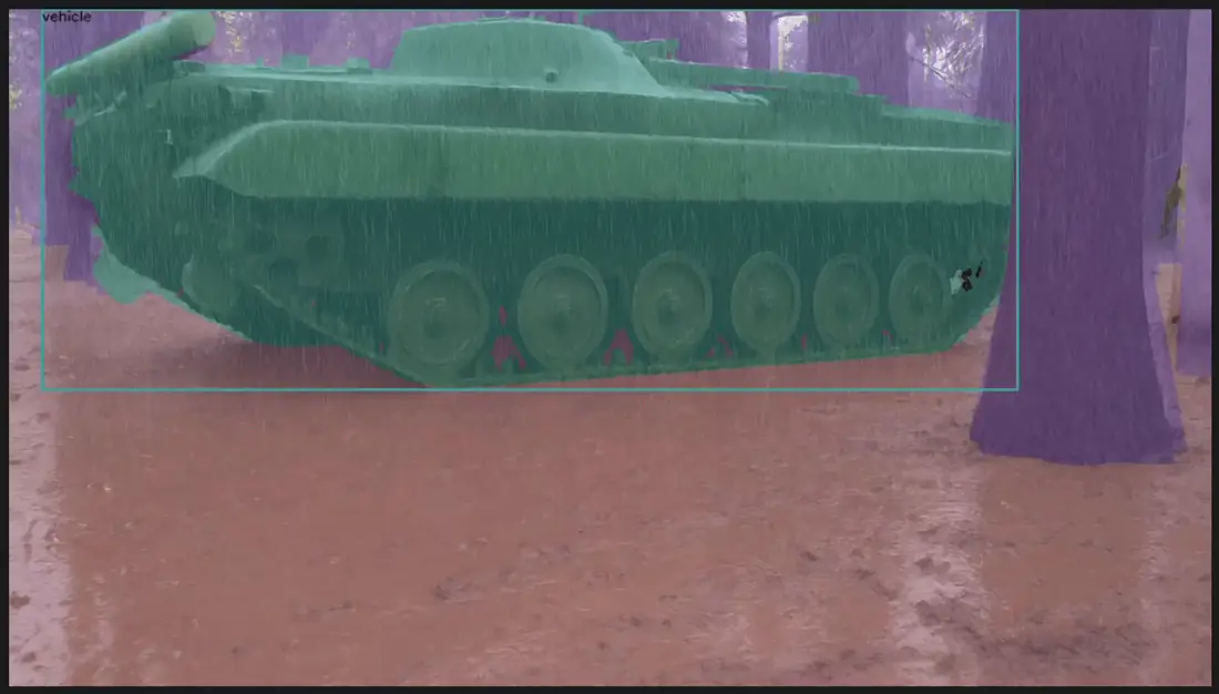 Mud & broken ground
-
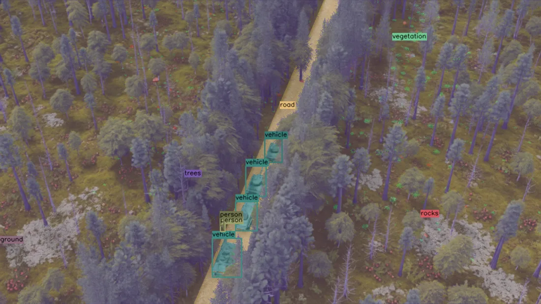 Aerial convoy detection
-
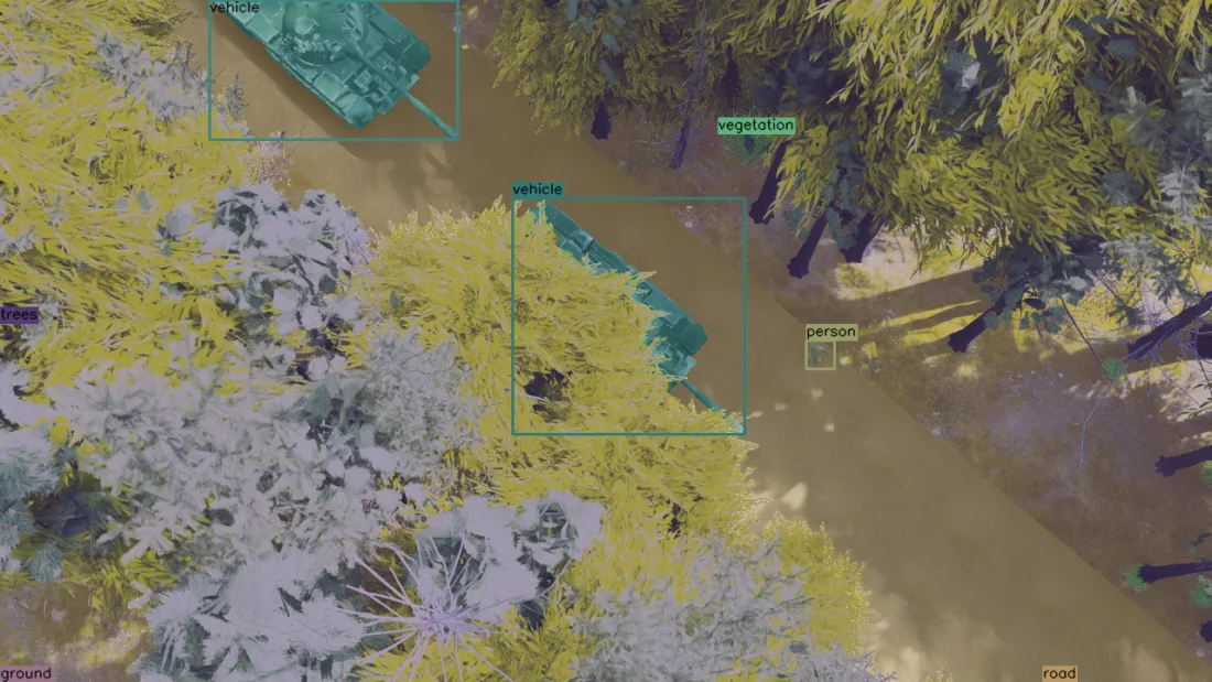 Top-down segmentation
Build with Badb Loop
Everything you need to build on it.
Data, models, and the tools to put them to work — packaged for the teams building autonomy and navigation. Take what's ready today; the rest is in preview.
Synthetic flight data
Photoreal rendered flight video with perfect ground-truth telemetry, from 3D reconstructions of real terrain — ready to train and evaluate against.
Explore the data AvailableNavigation & detection models
Visual positioning for GNSS-denied navigation and aerial object detection, packaged with edge-ready binaries for the hardware a real vehicle carries.
Browse the models In previewDeveloper & integration docs
Reference documentation and integration guides to wire the data and models into your own pipeline. In preview — request access.
Request access Coming soonInteractive sandbox
A hands-on demo to try the models against sample imagery before you commit. Coming soon.
Request early accessEarly access
Get Badb Loop before everyone else.
We're onboarding a small group of autonomy teams. Join the waitlist and we'll be in touch when there's something worth your time.