Data products
Synthetic flight data.
Photoreal rendered flight video with perfect ground-truth telemetry, from 3D reconstructions of real terrain we surveyed ourselves. Built for teams training and evaluating vision-based navigation, visual odometry, and geolocation — systems that must keep working when GPS does not.
- Exact per-frame pose — not estimated
- Georeferenced WGS84 + local ENU
- Calibrated camera model per clip
- Nordic & western-European terrain
What a clip looks like.
Six frames from six clips in the current catalogue, exactly as they ship — the flight HUD is burned into the video so a frame is readable on its own, and the telemetry file beside it is the authoritative record. Nordic and Irish terrain, 14 to 122 m above ground, in orbit, rise and cruise-dive trajectories.
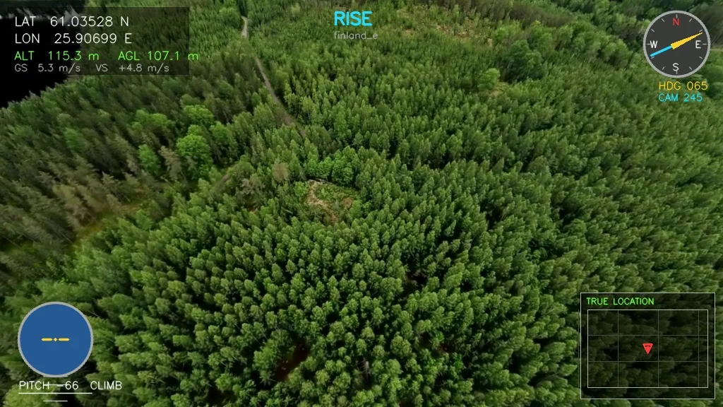
finland_e — rise reveal
Finland · 63–122 m AGL · real coordinates
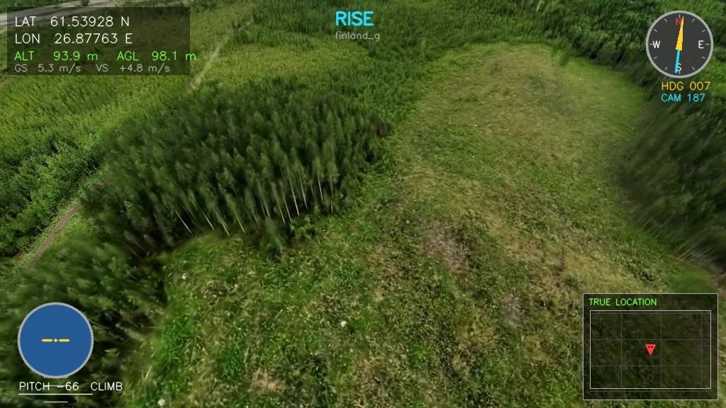
finland_g — rise reveal
Finland · 57–103 m AGL · real coordinates
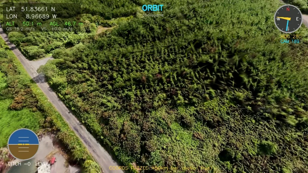
coolquane — orbit
Ireland · 39–48 m AGL · datum-shifted coordinates
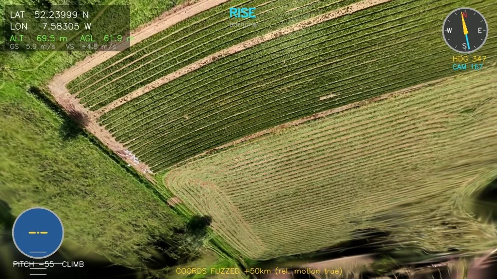
barnane — rise reveal
Ireland · 22–66 m AGL · datum-shifted coordinates
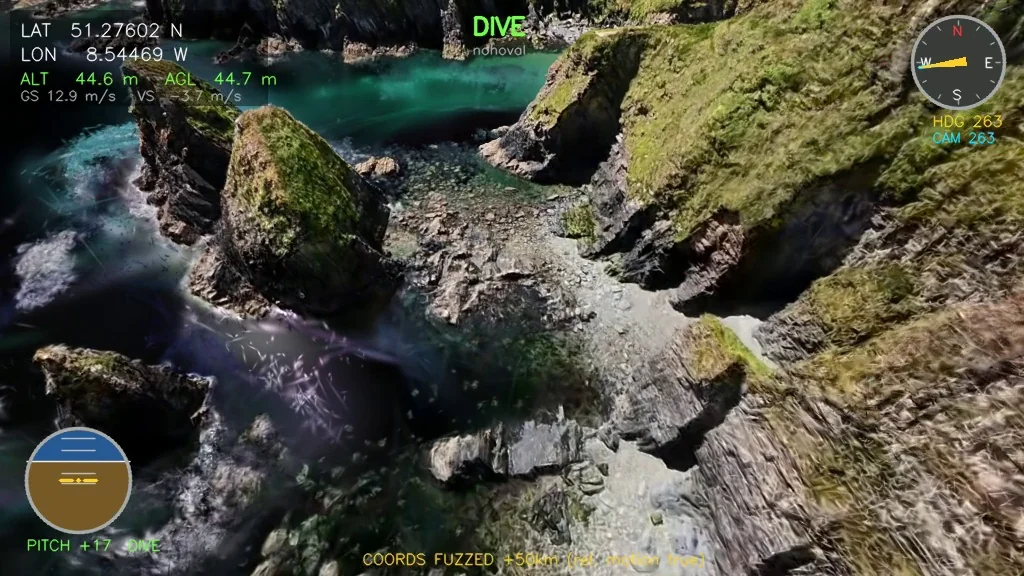
nohoval — cruise and dive
Ireland · 14–49 m AGL · datum-shifted coordinates
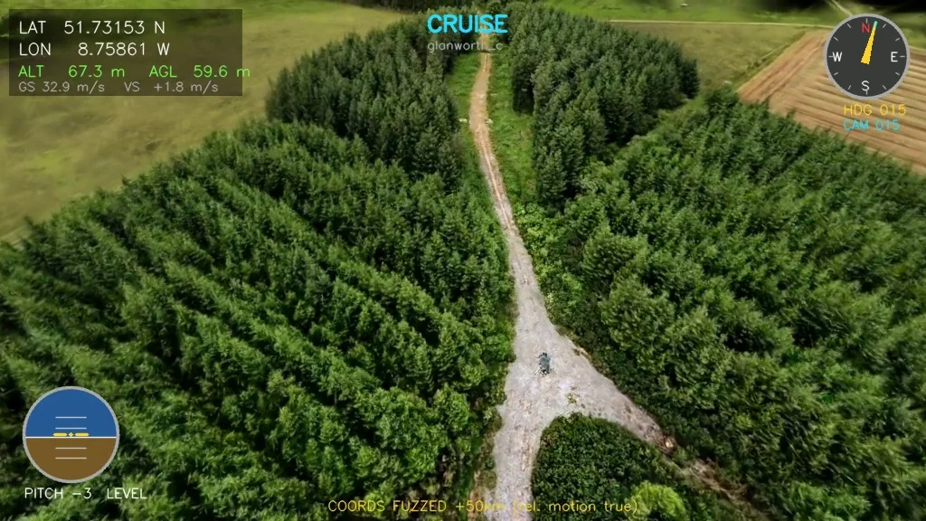
glanworth_c — cruise and dive
Ireland · 15–60 m AGL · datum-shifted coordinates
Synthetic — every frame here is rendered from a georeferenced 3D reconstruction of a site we surveyed by drone. The terrain is real and was measured; the flight through it was not flown. Reconstruction quality varies with the survey behind it, and the catalogue carries a quality score per clip so you can see which is which before you buy.
{"frame_idx": 0, "t_sec": 0.0, "lat": 61.03520726, "lon": 25.90668370,
 "alt_rel_m": 74.857, "agl_m": 62.818,
 "enu_e_m": 96.232, "enu_n_m": 37.347, "enu_u_m": 74.857,
 "quat_wxyz": [-0.50237846, 0.29563401, 0.18787702, 0.79051796],
 "yaw_deg": 244.8724, "pitch_deg": -41.0091, "roll_deg": 0.0,
 "vel_e_mps": 0.0227, "vel_n_mps": 0.0107, "vel_u_mps": 0.0558,
 "ground_speed_mps": 0.0251, "phase": "RISE",
 "camera": {"model": "pinhole", "fx": 429.619, "fy": 429.619,
            "cx": 512.0, "cy": 288.0, "hfov_deg": 100.0, ...}}
One line per video frame, verbatim from finland_e — 270 records for a nine-second clip. The camera block repeats on every record so a single line is self-contained; it is abbreviated above.
What ships in every bundle.
One directory per clip: the rendered video, a telemetry file with one record per video frame, and a manifest with the camera model, provenance, quality metrics, and checksums — plus the full format specification. Position, attitude (quaternion and Euler), velocity, altitude above ground, and intrinsics use documented aerospace conventions, so ingestion is a morning's work, not a project.
On selected sites, absolute coordinates carry a fixed datum offset for landowner privacy; relative motion, attitude, and height above ground are always true, and each file declares its policy. Real-coordinate delivery is available under contract.
Evaluate it
Start with the sample bundle.
Tell us what you're building and we'll send a sample clip with full telemetry and the specification, delivered as a time-limited download link — no account needed. Custom trajectories, altitude bands, sites, and telemetry fields are available on request.
Request the sample